
Kozbeyli–Şaphane Hill
- Distance
- 5 km
- Surface
- Trail
- Difficulty
- Easy
- Walking time
- 2–3 hours
- Recommended season
- Year-round
Discover a village with nearly five centuries of history, officially documented walking routes around Şaphane Mountain, and practical details for planning your visit.
MEET THE VILLAGE
Kozbeyli's exact foundation date is unknown. According to Visit İzmir, the present settlement is estimated to have been established around five hundred years ago.
The village lies within Foça, on the northern slopes of the eastern part of Şaphane Mountain. The same official record cautiously notes that its history may reach back to the Saruhanid period.
THE VILLAGE TABLE
Around the village square and the stone lanes beside it you will find places serving village breakfast and home cooking; the dibek coffee poured on the square is one of the village's own habits. This page does not recommend or compare individual venues — opening days and hours vary from place to place, so it is best to confirm before you go.
At Kozbeyli Konağı, breakfast is served to staying guests from 08:30 to 11:00 and is included in the room rate; it is laid on the table rather than offered as a buffet. Non-staying restaurant guests are welcomed from 08:30 to 14:00, subject to availability — we recommend letting us know in advance so the team can arrange the table and service flow.
GETTING THERE
Kozbeyli is a village in the Foça district of İzmir. The New Foça and Old Foça distances were measured on the road route suggested by Google Maps (30 July 2026).
| From | Distance |
|---|---|
| New Foça (Yeni Foça) centreBy road | 11 km |
| Old Foça (Eski Foça) historic centreBy road | 19.2 km |
| İzmir Adnan Menderes AirportVaries with route and traffic | about 95 km |
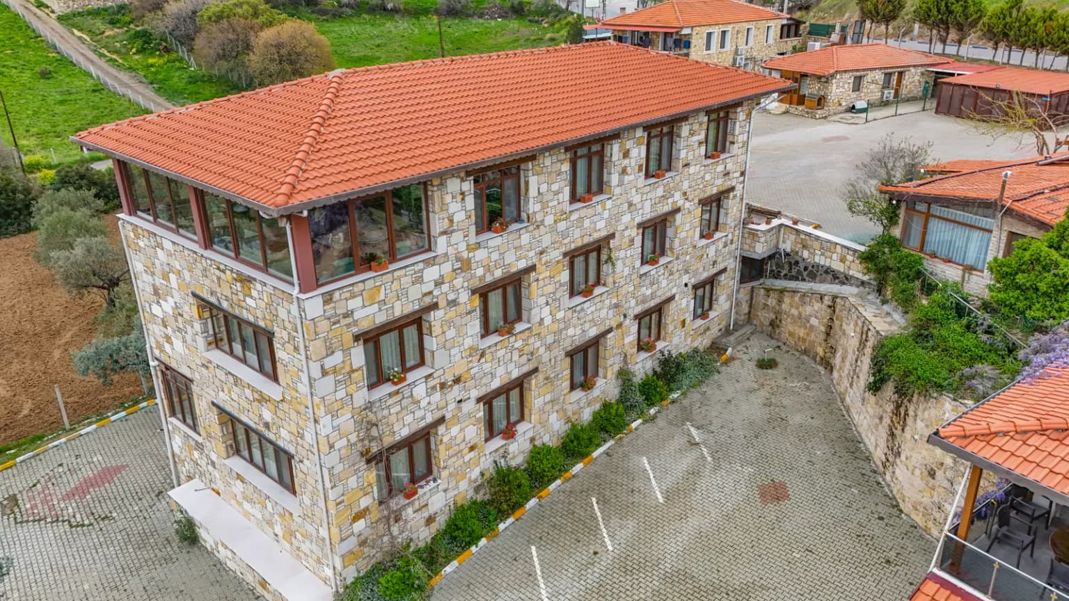
Village roads are narrow and winding, and driving time changes with the season and traffic, so open live directions before you set off. Kozbeyli Konağı has an open-air car park; please let the team know in advance if you are arriving by car.
Location & Live DirectionsKozbeyli is also served by buses of ESHOT, İzmir's public transport operator. Line numbers and timetables change from time to time, so check the current information on ESHOT's official website.
ESHOT current lines and times ↗OFFICIAL WALKING ROUTES
The distance, difficulty, duration and recommended season below come from the Foça route records of the İzmir Provincial Directorate of Culture and Tourism.
Route conditions, weather and daylight can change. Bring suitable footwear and water, and check the forecast, current local guidance and available daylight before departure. This page does not provide live trail status.
FREQUENTLY ASKED
Kozbeyli is a village in the Foça district of İzmir, on the northern slopes of the eastern part of Şaphane Mountain. It is 11 km from New Foça and 19.2 km from the historic centre of Old Foça by road.
It is 19.2 km by road (Google Maps, 30 July 2026). Driving time depends on traffic and season, so we recommend using live directions.
Yes, buses of ESHOT, İzmir's public transport operator, serve the village. Line numbers and timetables can change, so check the current information on ESHOT's official website.
You can walk the stone lanes, have dibek coffee on the village square and enjoy a village breakfast. For walkers, the Kozbeyli–Şaphane Hill trail recorded by the İzmir Provincial Directorate of Culture and Tourism is 5 km and rated easy.
Several places around the village square serve breakfast, and their opening days and hours vary. At Kozbeyli Konağı, non-staying restaurant guests can have the village breakfast from 08:30 to 14:00, subject to availability.
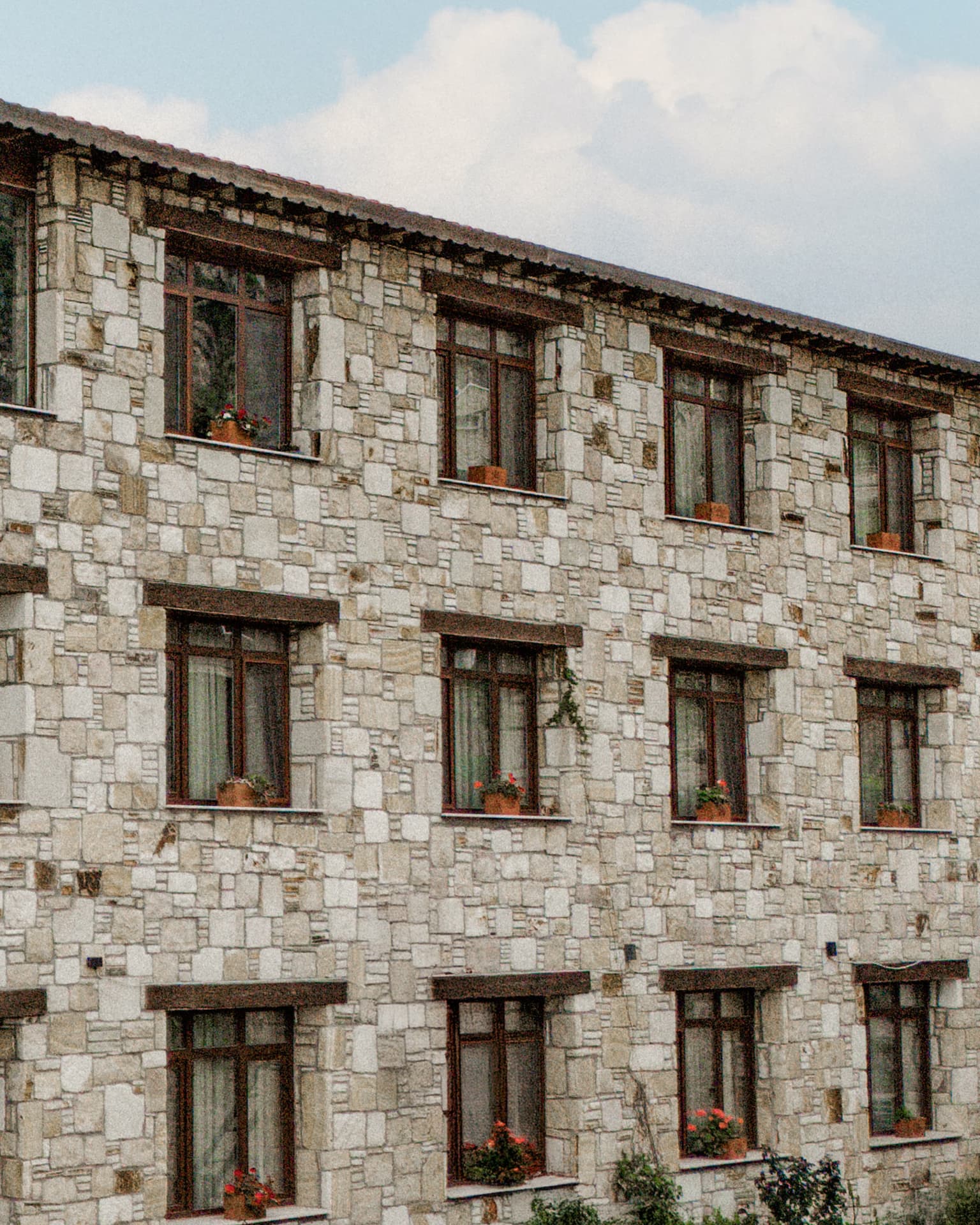
Kozbeyli Konağı is a 16-room stone boutique hotel in the village. The village breakfast is included in the room rate and served to staying guests from 08:30 to 11:00.
We used the official records below for the village history and walking routes. The mansion and address details come from verified records maintained by Kozbeyli Konağı.
Sources last checked: 21 July 2026
PLAN YOUR VISIT
Use live directions instead of relying on a fixed driving time, so current road and seasonal conditions are reflected. Check accommodation availability through the official booking page.
Verified address: Kozbeyli Köyü Küme Evler No:188, 35680 Foça / İzmir, Türkiye
Browse the guides that complete this route.